Vehicle geometry
Save antenna forward and lateral offsets together with the rear-axle-to-hitch measurement.

Built for Irish fieldwork
Tractor GPS guidance, machine calibration, auto-steer development, field mapping and machinery management—brought together in one practical, offline-first platform.
AccuAg is designed for farmers, agricultural contractors and machinery operators who want dependable guidance without losing sight of the work behind every pass.
Plan the field, follow your guidance line, record the work and keep the machinery setup attached to the job—even where mobile coverage is limited.
01 · Guidance
Set an AB line, choose the implement width and keep each pass visible. AccuAg records coverage while showing GNSS quality and the information the operator needs.
Illustrative guidance view
Move the control to preview how the pass spacing responds to different implements.
Machine calibration
AccuAg uses saved vehicle and implement geometry to translate the GNSS antenna position toward the implement’s working point. That lets guidance and coverage calculations reflect the selected machine combination.
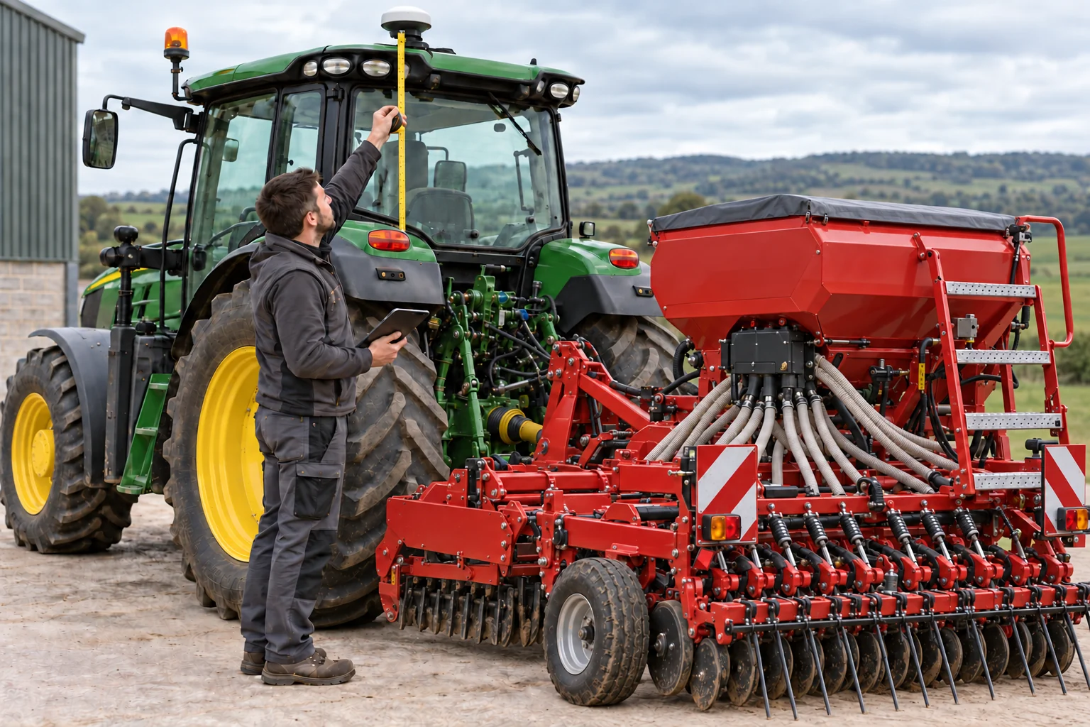
Save antenna forward and lateral offsets together with the rear-axle-to-hitch measurement.
Record working width, intended overlap, lateral offset and hitch-to-working-point distance.
Keep target rate, recommended speed, machine setting and measured liquid-flow calibration with the implement.
Accuracy note: Correct machine measurements can improve working-point positioning, but final field accuracy also depends on the GNSS receiver, correction source, installation, terrain and operating conditions.
Auto-steer · In development
AccuAg’s auto-steer roadmap extends the same AB lines, curved guidance paths and working-width setup toward compatible external steering hardware.
The operator remains in control. Auto-steer will be released only after machine-specific installation, manual-override and field-safety validation.
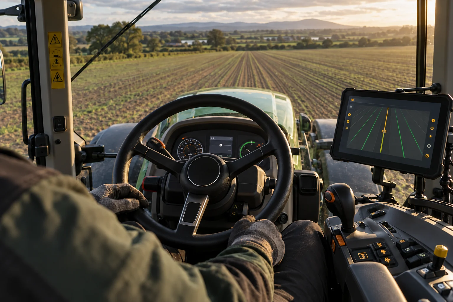
Connect through a defined steering controller interface rather than assuming universal tractor compatibility.
Keep steering status, guidance quality and operator takeover visible at all times.
Test each supported configuration before publishing compatibility or accuracy claims.
02 · Field memory
Every job can carry the field, operation, equipment and notes that explain what happened—not just a line on a map.
Save field boundaries, working direction, headlands and permanent markers for the next job.
Field MemoryKeep starts, pauses, fills, notes, warnings and setup changes together in chronological order.
Offline recordStore vehicles, implements, widths and calibrations so the selected combination follows the job.
Practical setupRecord gates, drains, poles, wet ground and hazards with a visible safety radius and age.
Operator awareness03 · Contractors
AccuAg turns the completed job into a clear proof-of-work PDF built from the saved job timeline.
Designed for patchy coverage
Core guidance and job recording are designed to keep working without a mobile connection. Your field record remains on the device until you choose to export or share it.
04 · Development
The software feature set is complete. Physical receiver, vehicle and field acceptance testing is the current release gate.
AccuAg’s soil-scanner work remains a future hardware research programme. Its measurements must be validated before they are used to create soil-treatment prescriptions.
Future systems · Soil scanner first
Once the AccuAg soil scanner has established repeatable, validated measurements, the roadmap targets full ISOBUS compatibility for supported tractors, terminals and implements.
Measured field zones can become a reviewable treatment plan, transfer through a compatible ISOBUS Task Controller and return to AccuAg as an as-applied job record.
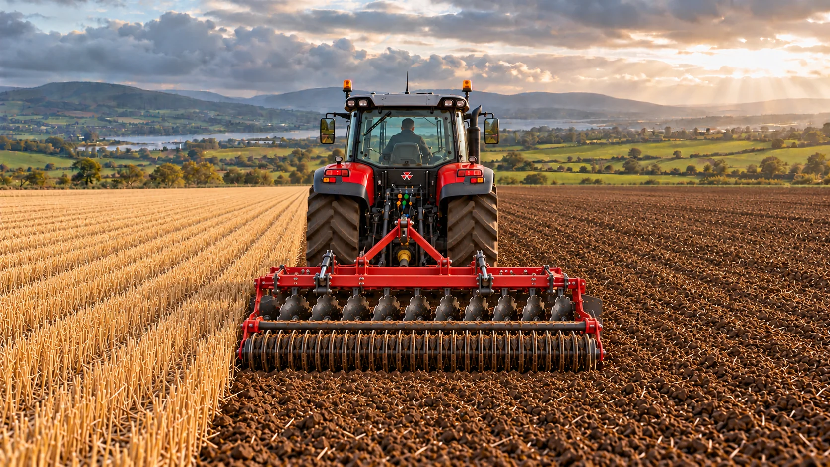
Collect georeferenced soil observations and confirm the sensing model against dependable reference results.
Turn validated zones into an operator-reviewed treatment plan with product, rate and exclusion rules.
Send the approved task to supported equipment and retain the returned application record with the field job.
Work the field. Keep the record.
We’re preparing controlled field trials with farmers and agricultural contractors in Ireland.
Request early access